The government has and will continue to develop alternate routes to and from communities at risk of being cut off by natural disasters, B.C.’s transportation minister said Tuesday.
But Rob Fleming also tempered expectations.
“So in cases where there is a viable alternate route, where improvements can be made, we’ll look at that,” Fleming said. “We certainly got a number of projects around B.C. where that has been done. But it is not always possible in every community to punch through a secondary route that would be paveable and made to a highway condition.”
He made those comments after announcing that government expects Highway 4 east of Port Alberni “to be fully closed for at least another week” to give crews the time to remove dangerous trees and other hazards for necessary repairs.
The highway, which connects key tourism communities like Tofino and Ucluelet on the west coast of Vancouver Island to places east through Port Alberni, closed on June 6 following the start of the human-caused Cameron Bluffs fire.
Janelle Staite, deputy director for the South Coast Region in the ministry, said the affected area would first open to single-lane alternating traffic, followed by a full reopening sometime in the middle of next month.
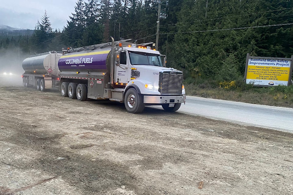
While commercial trucks carrying goods and essential travel can reach Port Alberni, Tofino and Ucluelet by way of an alternate route consisting of private industrial roads and forest service roads, the route is unpaved and lacks services. These conditions, coupled with the fact that flooding and fires have already caused road closures with potentially more on the horizon, have raised questions about provincial planning for alternate routes.
Fleming said government is always planning for alternatives, but also acknowledged the limits that B.C.’s geography imposes.
RELATED: Officials warn of ‘very challenging’ fire season ahead in B.C.
“I think in the wake of the atmospheric river (in fall 2021), when it was coming down to a plan to restore Highway 8 through the Fraser Canyon and Highway 1, alternate routes were looked at and were nearly impossible because of the very difficult terrain,” Fleming said. “(It) was deemed best to build to a very climate resilient standard the infrastructure that had been washed away into the river or heavily damaged.”
Fleming acknowledged that the closure of Highway 4 has created major challenges for residents and businesses living in the affected communities, as well as tourists travelling from and to Tofino and Ucluelet.
Both communities are major travel destinations for both domestic and international tourists to British Columbia, many coming from Europe among other places.
“We are anxious to get the road open as quick as possible,” Fleming said. “But obviously, safety is our number one priority and we cannot reopen the highway until we know that the travelling public will be safe,” he said, adding that government is in close contact with affected businesses in discussing ways to help them.
Fleming said B.C. has also reached out to the federal government about assistance for affected businesses as well as regional and national airlines to see whether they could reduce the cost of flights to the region to improve transportation.
Residents of Port Alberni, Tofino and Ucluelet are not the only British Columbians keeping an eye on the transportation situation.
In a similar position are those living near the Alaska Highway, as the Donnie Creek wildfire continues to burn in the northeastern corner of B.C. 136 km southeast of Fort Nelson and 158 km north of Fort St. John. Highway 52 also remains closed as part of evacuation efforts in Tumbler Ridge because of the West Kiskatinaw wildfire.
Fleming referenced the highway closure near Tumbler Ridge when asked about the likelihood of the Highway 4 situation repeating itself elsewhere in the province. Other parts of B.C. will “undoubtedly face similar challenges,” he said in pointing to preparations between various agencies and ministries currently underway.
“We’re going into a different weather pattern, coming up soon, with wet and windy weather,” Fleming said. “There are a different regional forecasts as well that will play a factor into the what we are likely to experience in June and July and into the rest of the summer.”
READ ALSO: Highway 4 east of Port Alberni to remain closed for another week
READ ALSO: Storms forecast to bring rain, but also a risk of winds, lightning, as wildfires rage
@wolfgangdepner
wolfgang.depner@blackpress.ca
Like us on Facebook and follow us on Twitter.